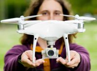
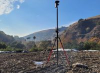
Aerial Inspection and Mapping
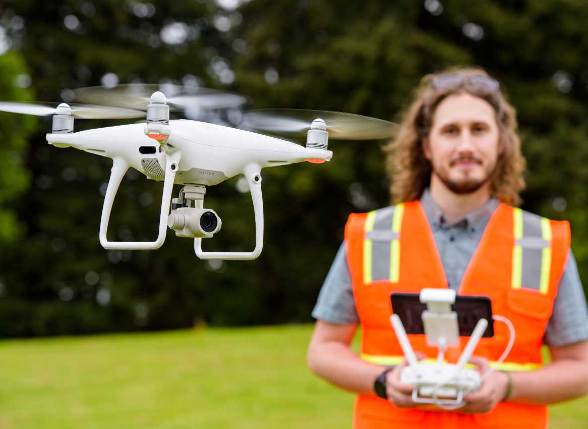
Our Federal Aviation Administration-licensed pilots capture high-resolution aerial imagery, which we use to monitor environmental construction activities and streambed restoration work. By incorporating a drone into data collection, we are able to collect valuable information while significantly reducing field time and eliminating the need to return to a site to fill in data gaps.
Expertise
Meet Our Team

Kevin Halpin
Associate Geologist
Associate Geologist
Kevin is a Project Scientist with 12 years of experience in the environmental consulting industry. His background includes project management for site characterization and remediation activities, health and...

Contact Us