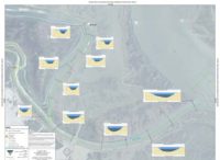
Our team has conducted navigability studies for accessing 1,200 miles of the Amazon River in Peru; 300 miles of the Lower Colorado River in Arizona and Nevada; and countless miles of rivers, creeks, and sloughs on the West Coast and beyond. To establish tidal datums for dredge channel design, we carefully measure water levels for periods of up to 1 year and compute mean-lower-low and mean-higher-high tidal data. We design dredge channels and provide pre- and post-dredge hydrographic surveys to confirm contractor compliance, dredge volume, and value of dredging. We also support hydrologists by providing input data for Hydrologic Engineering Center mathematical models, including bathymetric cross sections and current flow velocities.
Navigability Studies
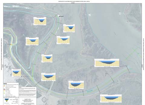
We are the first contractor hired on many major construction projects, responsible for identifying the optimal overwater access route for tugs and barges to deliver supplies, materials, and personnel to remote overwater construction sites.
Contact Us