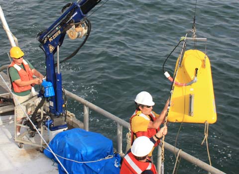

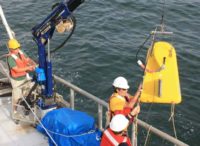
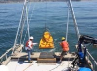
Our marine geophysical surveys determine the topography of the seafloor, provide acoustic images of the seabed, and generate high-resolution maps of sub-bottom geological features. Our geophysical surveys identify the horizontal and vertical extent of sediments, the location of buried pipelines, and sub-bottom geologic features.
We conduct geophysical surveys to support archaeological investigations and lake siltation studies, and to locate buried ancient riverbeds (paleo-channels). Our geophysical techniques include single-beam bathymetry, multi-beam and swath bathymetry, side-scan sonar, seismic reflection (also known as sub-bottom profiling), and seismic refraction. We also offer current and tide monitoring, sediment and water sampling, underwater imaging, and magnetometer surveys to locate buried objects containing ferrous metal.