Skip to content

Wetlands, Critical Areas, and Land-Use Planning

wood-bridge-over-small-creek-in-forest

We provide data collection and site surveys to support land-use planning in ecologically sensitive habitats. We conduct field surveys and site assessments to identify wetlands and critical areas, and inform decisions around land-use planning.

Contact Information

Get in Touch

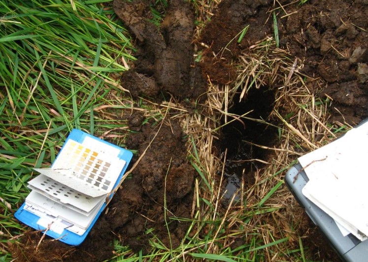
In the water, our team of divers and biologists conducts eelgrass surveys and marine mammal monitoring. While on land, the team surveys for talus habitat and monitor soils for arsenic and lead in former orchards. Our services include:

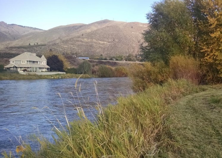
  • Riparian Buffer Assessments
  • Shoreline Assessments
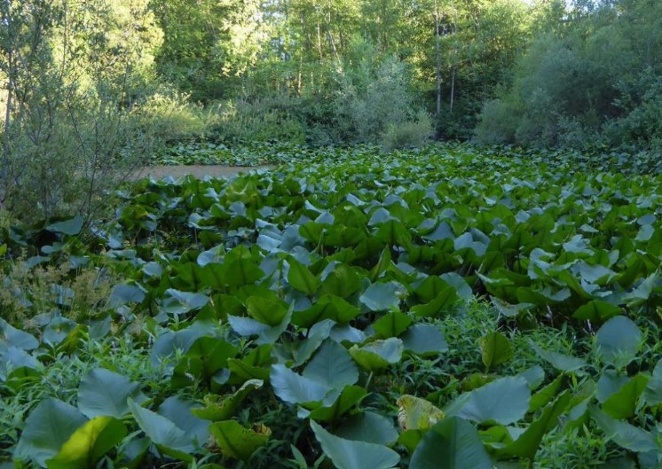
  • Aquatic Vegetation Delineation
  • Eelgrass Delineation
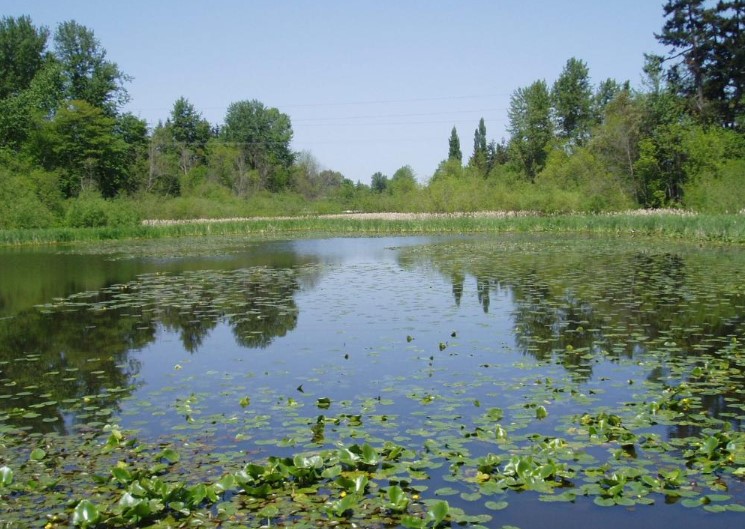
  • Wetland Delineation, Rating, and Buffer Determinations
  • Critical Areas Assessments and Compliance
  • Feasibility Assessments
  • Rezoning Applications
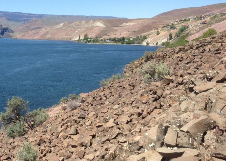
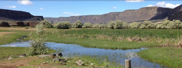
  • Ordinary High Water Mark Determination
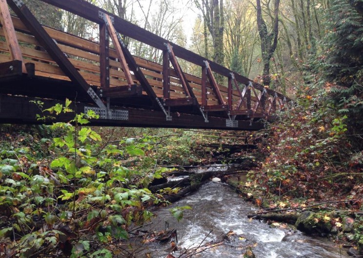
  • Building Permits
Contact Us

Get In Touch


    This site is protected by reCAPTCHA and the Google Privacy Policy and Terms of Service apply.

    This website requires cookies to provide all of its features. For more information on what data is contained in the cookies, please see our Privacy Policy page. By continuing to use this website, you agree to our Privacy Policy.